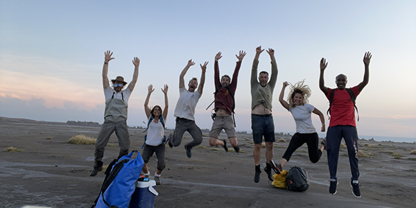
The NILAFAR project was built on previous work of three complementary archaeological programs in the Afar and the Central Rift Valley (VAPOR-Afar, PSPCA and LSA Sequence). L. Khalidi currently directs the VAPOR-Afar program in the Ethiopian Afar. J. Cauliez currently directs the PSPCA program in the Djibouti Afar. C. Ménard directs the LSA Sequence program.
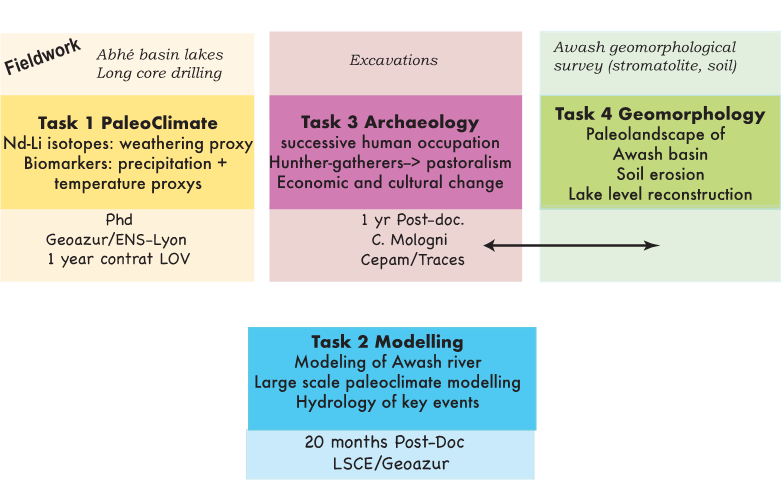
The project is decomposed in four different tasks:
PALEOCLIMATE
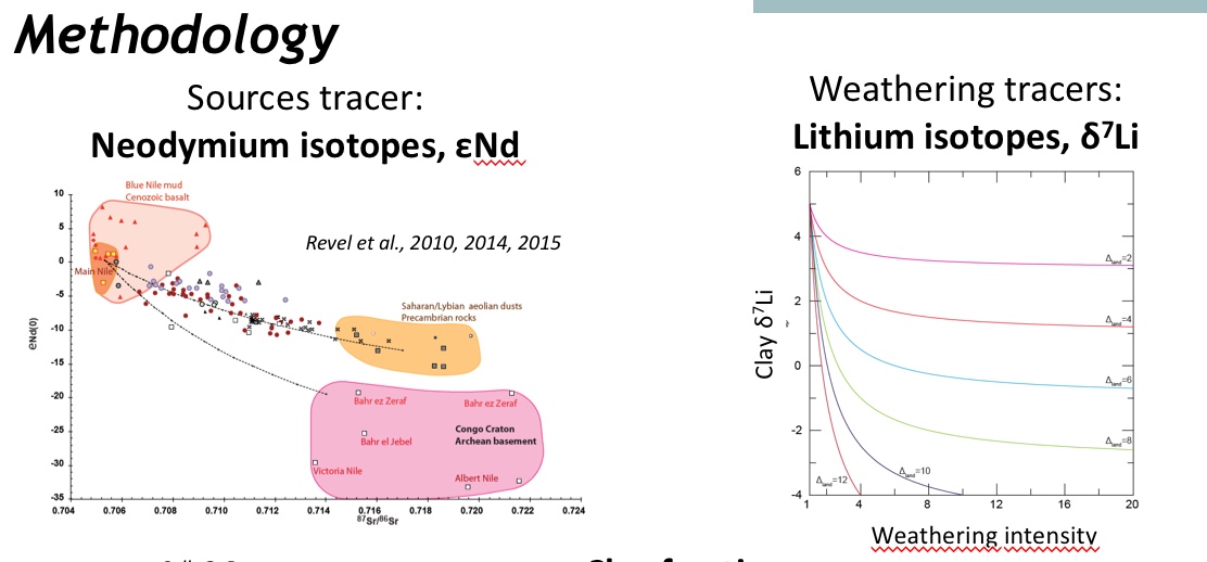
Task 1 aims to reconstruct hydrological fluctuations in the Afar area at centennial-millennial resolution over the last 20,000 years using Innovative tracers such as d2Hwax, GDGT (Glycerol Dialkyl Glycerol Tetraethers or GDGTs) and diatom assemblages. Also, Neodymium isotope composition (143Nd/144Nd) which can evaluate the provenance of lake sediment will be coupled with Li isotopes (d7Li), which trace the intensity of weathering and clay neoformation in soils.
 ARCHAEOLOGY
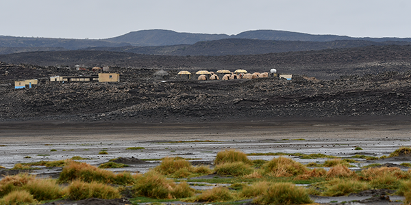
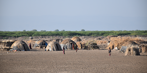
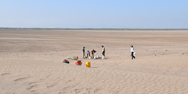
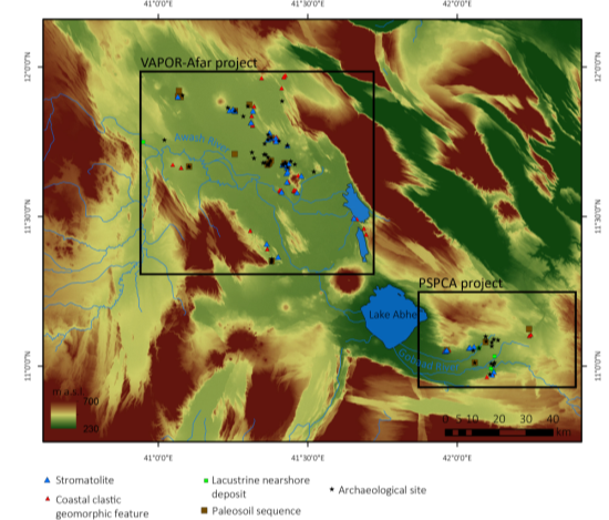
Task 3 will excavate and date chrono-spatially unrepresented human occupation sequences with the aim of reconstituting paleoeconomy and cultural change over the last 20,000 years through focused archaeological investigation in the Afar (Ethiopia, Djibouti) and the Central Ethiopian Rift Valley. The project focuses particularly on the persistence and decline of hunter-gatherer communities and the emergence of pastoralism. The multidisciplinary NILAFAR project is largely based on the work of three complementary archaeological programs in the Afar and the Central Rift Valley
- VAPOR-Afar directed by Lamya Khalidi,
- PSPCA directed by Jessie Cauliez
- LSA Sequence directed by Clément Ménard
- Reference: Cauliez J., Gutherz X. (Dir), 2021 DJIBOUTI Des paysages & des hommes Regards sur le patrimoine archéologique du lac Abhé., Editions du Cerd, Djibouti, 216p.
GEOMORPHOLOGY
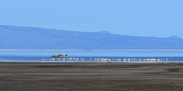
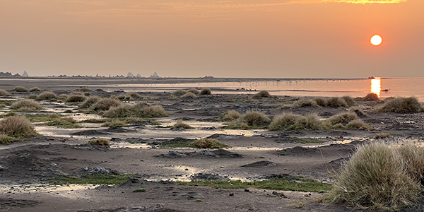
Task 4 aims to reconstruct regional paleolandscapes through geomorphological surveys of the Gamari, Afambo, Abhe and Ziway/Shala paleolake basins and shorelines and dating of environmental archives (stromatolites, diatomites, paleosoils, aeolian deposits, etc.). Reconstruction of lake level fluctuations will provide high-resolution information on environmental change, time-range and relationship to human settlement patterns.
From Mologni Carlo (PhD thesis of C. Mologni directed by M. Revel (Idex-UCA, codirected by L. Khalidi) initiated in 2017
as part of a multidisciplinary research program (Idex CLIMAFAR codirected by L. Khalidi & M. Revel) that bridges archaeology and paleoclimate.
MODELING
The combination of climate model simulations (from the Paleoclimate Modeling Intercomparison Project PMIP and IPSL models) and hydrological model simulations (a rainfall-runoff model – previously calibrated on the observed period using available discharge series) will be used to investigate the different factors and important thresholds controlling the hydrology in Afar, in terms of precipitation regimes (humid and dry periods such as AHP and LGM, respectively), source of the moisture flux (from Atlantic or Indian oceans) on the region, and length of critical dry episodes (such as HS, YD, 8.2, 4.2ka).
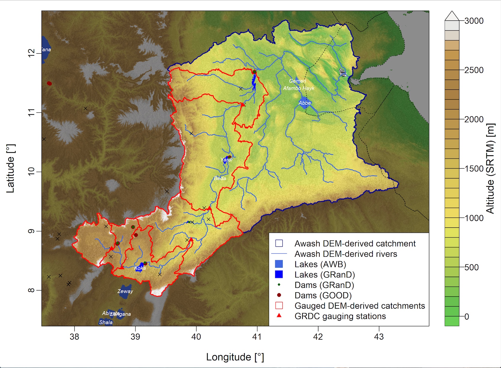
Image from Pierre Brigode: Awash and Gobaad catchments